Monday 19th September
Abingdon
7.0
Folly Bridge (Oxford)
2.2
The Perch (Binsey)
1.3
start of Oxford Canal
3.3
Bridge 230
0.5
Peartree
Peartree Park and Ride
300
Oxford St Aldates
35
Abingdon
|
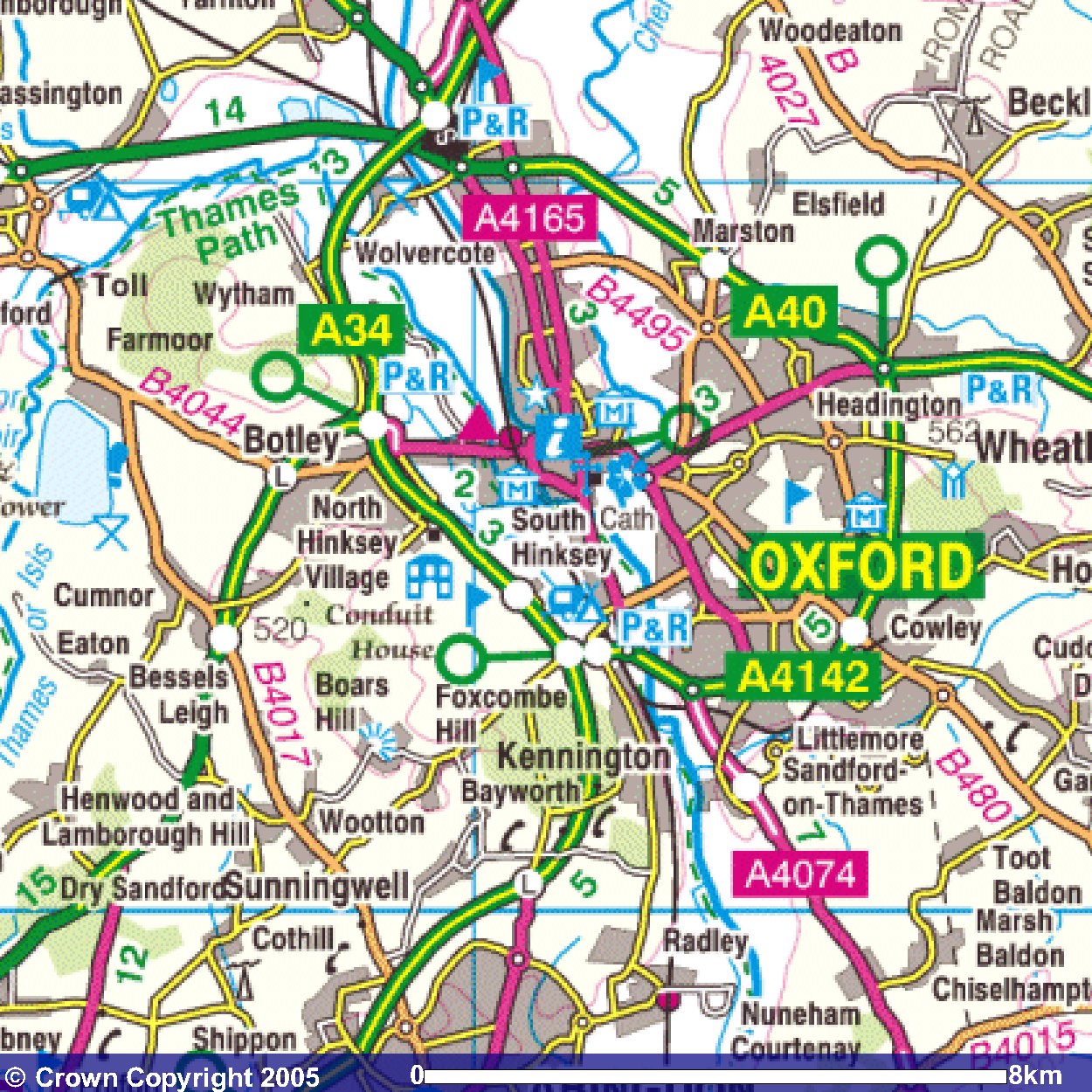
Abingdon is at the bottom left of this map.
The first part of the route goes along country lanes
through Radley to Little Radley.
It's then across fields to join the Thames Path.
The route follows the Thames northwards into Oxford
where it jumps ship
as it then follows the Oxford Canal
(northwards from its southerly terminus).
The route of the Oxford Canal
is the blue line that is accompanied by the railway line.
The end of the day's walk is
at the Peartree Park and Ride
which is at the top of the map.
|
Day 2
Index
Images produced from the Ordnance Survey Get-a-map service.
Images reproduced with kind permission of Ordnance Survey
and Ordnance Survey of Northern Ireland.
|